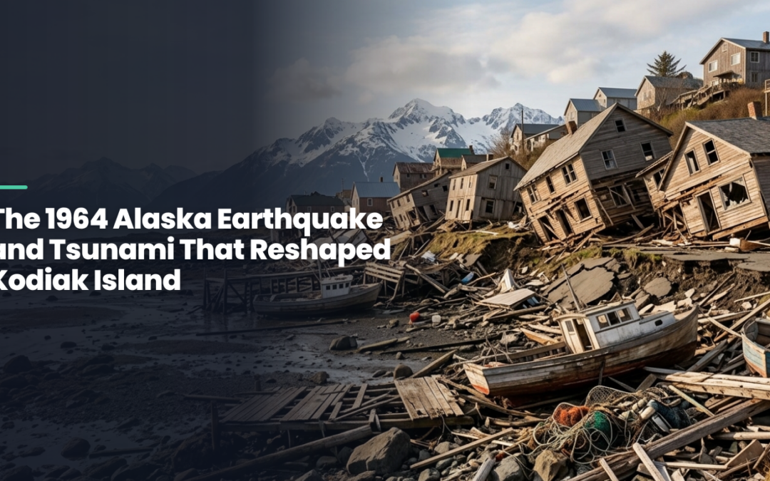
When guests stand on the dock in Larsen Bay and look out at the calm, nutrient-rich waters we fish every season, they are looking at a coastline that was violently rearranged in a matter of minutes. The Kodiak Island 1964 earthquake tsunami is one of the most significant natural events in Alaska’s history, and its fingerprints are still visible on the land and water around our lodge.
What Happened on Good Friday, 1964
On March 27, 1964, a magnitude 9.2 earthquake struck Prince William Sound, roughly 300 miles from Kodiak Island. It remains the most powerful earthquake ever recorded in North America. The shaking lasted close to five minutes, long enough to crack foundations and knock down anything not bolted to the ground across much of southcentral Alaska.
Kodiak Island itself did not sit at the epicenter, but it was close enough, and low enough along the coast, to take the full force of what came next.
How the Tsunami Struck Kodiak Island and Larsen Bay
The earthquake triggered a series of tsunami waves that raced across the Gulf of Alaska and slammed into Kodiak’s coastal villages within half an hour. Kodiak City, Old Harbor, Afognak, and other communities around the island were hit hard, with waves reported in the range of 20 to 30 feet in some areas.
Larsen Bay, like many smaller villages on the island, felt the effects as the surge moved through the bay system, damaging docks, boats, and structures along the shoreline. Fishing was the backbone of these communities then as it is now, and the loss of boats and canneries hit families immediately and hard.
Why the Damage Was So Severe
- The earthquake caused widespread land subsidence, dropping parts of Kodiak Island by several feet.
- Lower elevation meant higher tides could reach farther inland than before, permanently changing flood zones.
- Multiple tsunami waves arrived in succession, so damage was not a single event but a repeated battering over hours.
- Many villages had no warning system at the time, leaving residents little time to reach higher ground.
A Changed Coastline: The Geology Guests See Today
The land subsidence from the 1964 earthquake is not just a historical footnote. It physically lowered portions of Kodiak Island, which changed tidal patterns, reshaped some stream mouths and shorelines, and altered how certain bays drain and refill with the tide. Anyone who has fished these waters for decades can point to places where the shoreline behaves differently than it did before the quake.
That shifting geology is part of why Kodiak’s waters remain so productive. Changes in depth and current around river mouths and nearshore structure created new habitat edges where halibut, lingcod, and rockfish continue to hold. When our guides take guests out for a halibut or lingcod charter, they are reading a seafloor that in some spots looks different than it did two generations ago.
Rebuilding Kodiak’s Communities
In the aftermath, Kodiak’s villages faced a long rebuilding process. Some communities relocated sections of their towns to higher ground. Fishing fleets had to be rebuilt boat by boat, and canneries that had anchored the local economy for decades had to be reconstructed or relocated entirely.
The recovery took years, not months, and it reshaped where and how people built along the coast. That caution around low-lying shoreline construction is still visible in how some Kodiak villages, including Larsen Bay, are laid out today.
History Beneath the Surface
The 1964 earthquake is one chapter in a much longer story of how people have lived with, and depended on, Kodiak Island’s waters. Long before statehood, this same coastline was shaped by Alutiiq traditions that shaped Kodiak’s communities, from subsistence fishing to boat building, traditions that continued even through the disruption of 1964 and are still practiced today.
The island’s history runs deeper still. Many visitors are surprised to learn about Kodiak Island’s era as Russia’s first Alaskan capital, a period that left its own mark on place names and settlement patterns well before the earthquake ever struck. For a broader look at how all these events connect, we put together a timeline of Kodiak Island’s history that traces the island from its earliest roots through the modern era, and we’ve also gone into more depth on how the 1964 tsunami reshaped Larsen Bay’s coastline for readers who want the fuller picture.
Fishing the Waters History Shaped
Understanding what happened here in 1964 gives real context to a trip to Larsen Bay. The halibut, salmon, lingcod, rockfish, and Pacific cod charters we run today work the same waters that were reshaped by that earthquake, and the surrounding land is still home to the bear viewing, whale watching, and wildlife viewing trips that draw guests from well beyond Alaska. If you want to see this history firsthand while fishing some of the most productive water on the island, get in touch with us and we will help build a trip around what interests you most.